| Table of contents |
|---|
| Introduction |
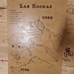
| Route |
| Ascend & Descend |
| Acclimatization |
| Summary |
| Gallery |
Introduction
Huayna Potosi, a towering 6088-meter (or 19974-feet) peak in Bolivia’s Cordillera Real range near La Paz. People claim it’s one of the simpler 6,000-meter climbs. If you take the standard route, it is a mostly straightforward glacier walk, not too technical, though there are a few steep stretches.
I reached the summit, but let me tell you, it wasn’t a cakewalk. So, how’d it all wrap up in the end?
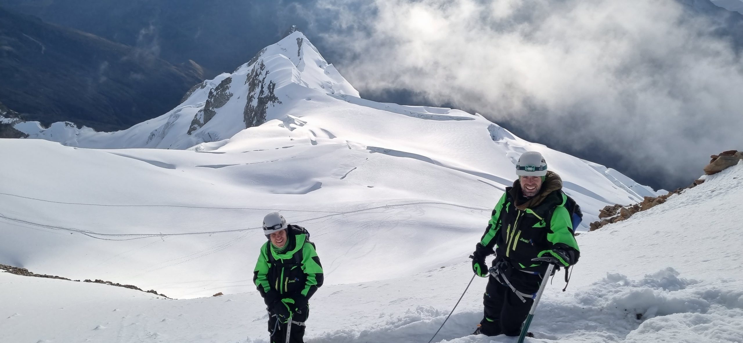
Route
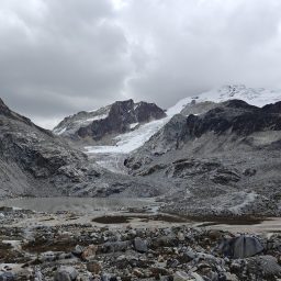
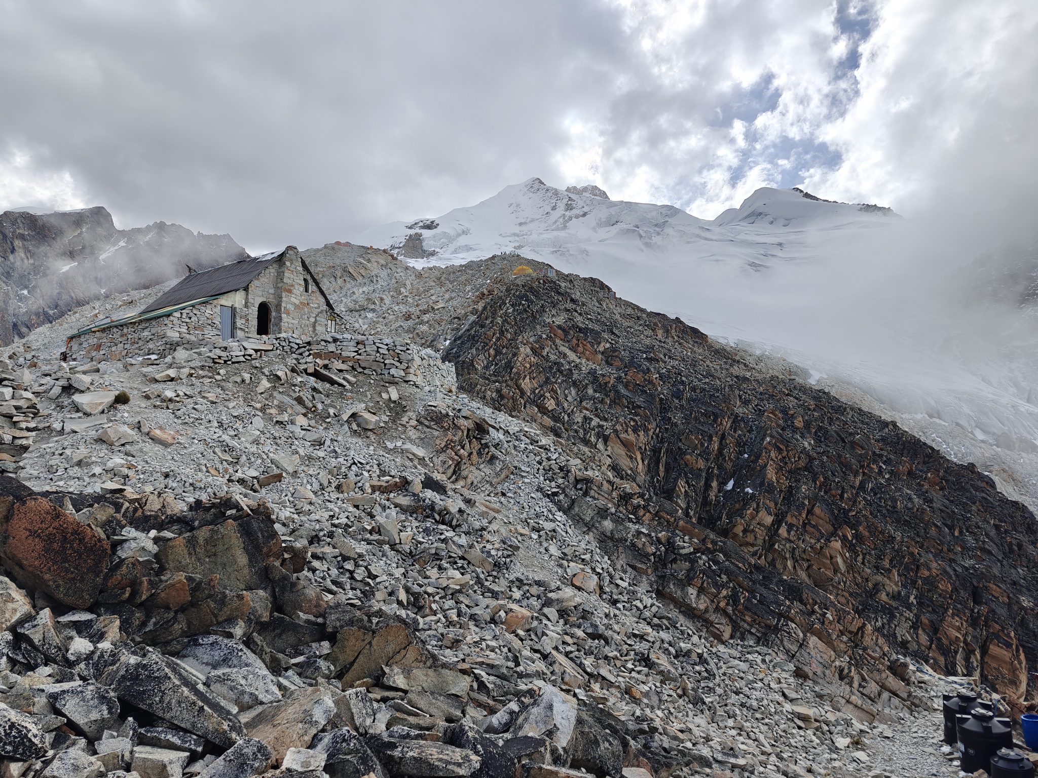
The setup for climbing Huayna Potosi is well organized. Base camp sits at 4800 meters, High Camp is located close to 5200 meters, and the summit itself shines at 6088 meters. Getting to Base Camp is an easy one; you hop in a van that takes you up to the Zongo pass, accessible only by skilled local drivers.
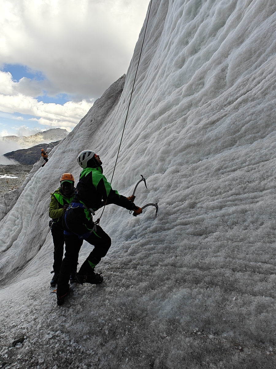
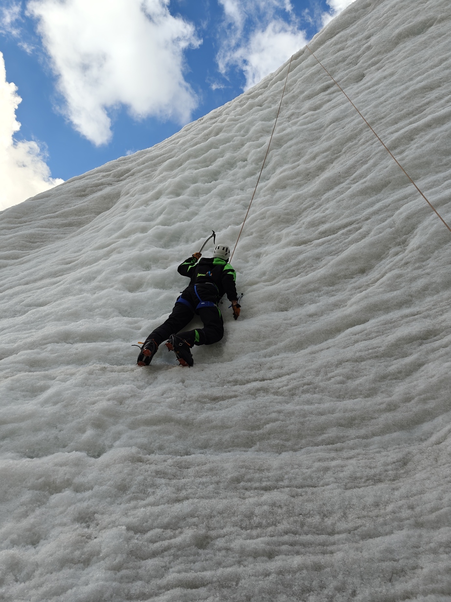
There are options for either a 2-day or 3-day summit attempt. I went for the 3-day option to give myself some extra time to acclimate to the higher altitudes. On the first day, our group did some crampon-walking training on the old glacier and practiced ice-climbing. The next day was all about making our way up to High Camp, loaded up with all the necessary technical gear, and then just chilling out.
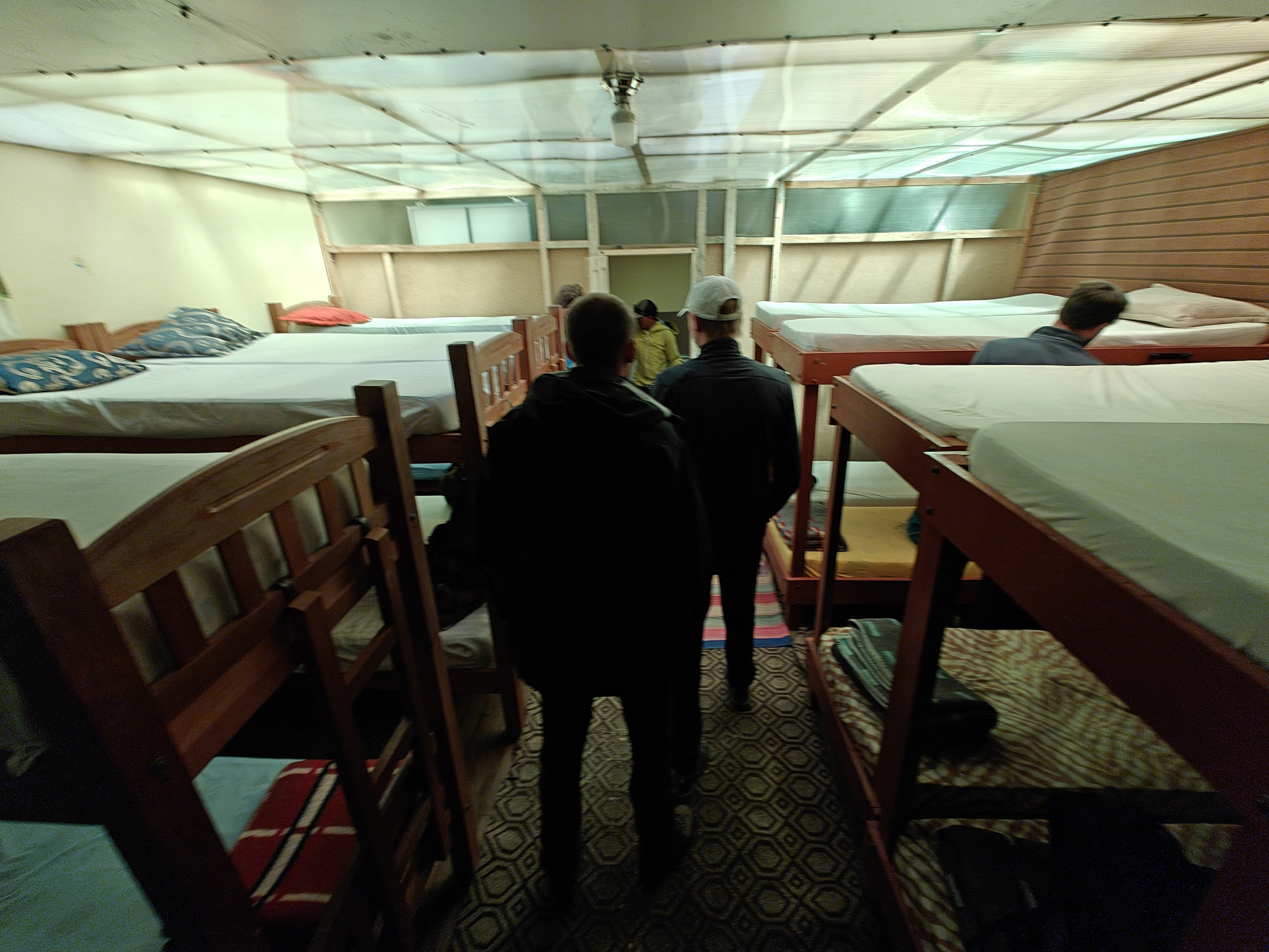
High Camp itself isn’t exactly a hive of activity. Mostly just playing cards, having dinner, and trying to catch a few naps before the wake-up call at midnight. Don’t expect any massive “breakfast”. Just tea, few crackers and ascend can start.
Ascend & Descend
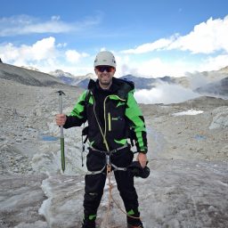
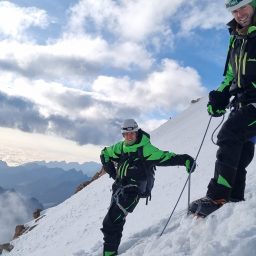
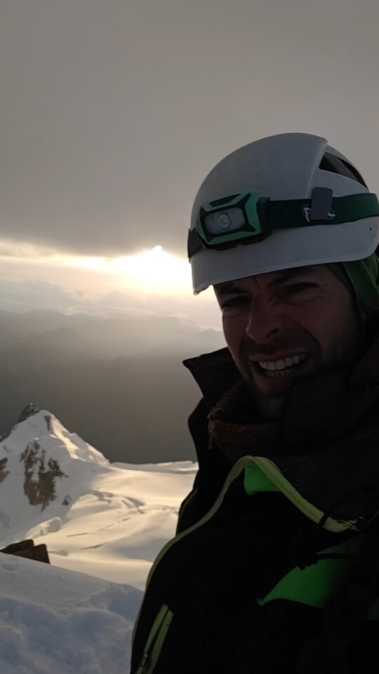
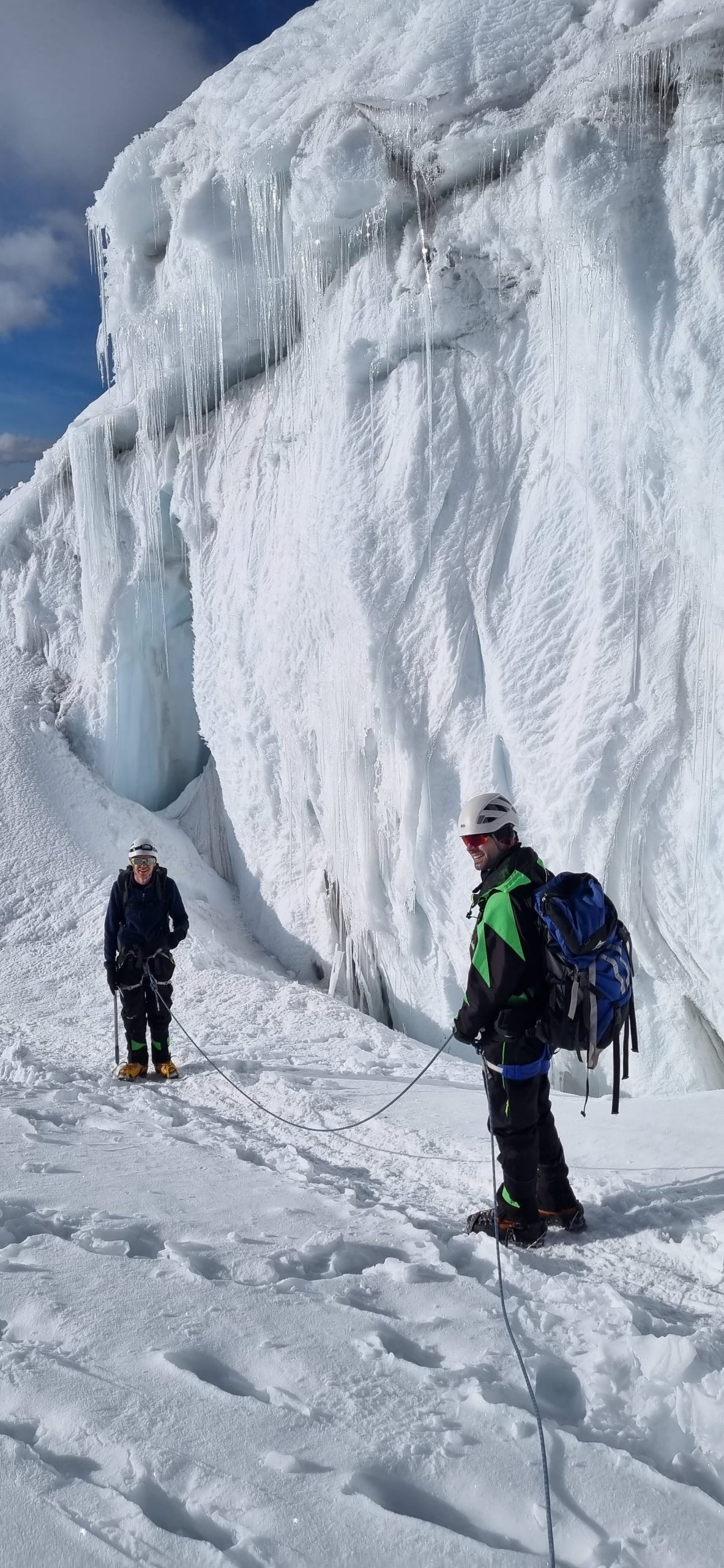
We kicked off our climb at the chilly and windy hour of 1 AM, equipped with headlamps beaming from our helmets, crampons gripping our boots, the ice-axe hold by the hand closer to the glacier and roped up to the climbing buddy and the guide. Luckily, my partner was a powerhouse the whole way, while I found myself frequently asking for breaks or urging to slow down. I tried to stay hydrated and fueled up with chocolate and gummies every half hour, doing my best to keep my energy levels up.
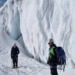
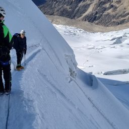
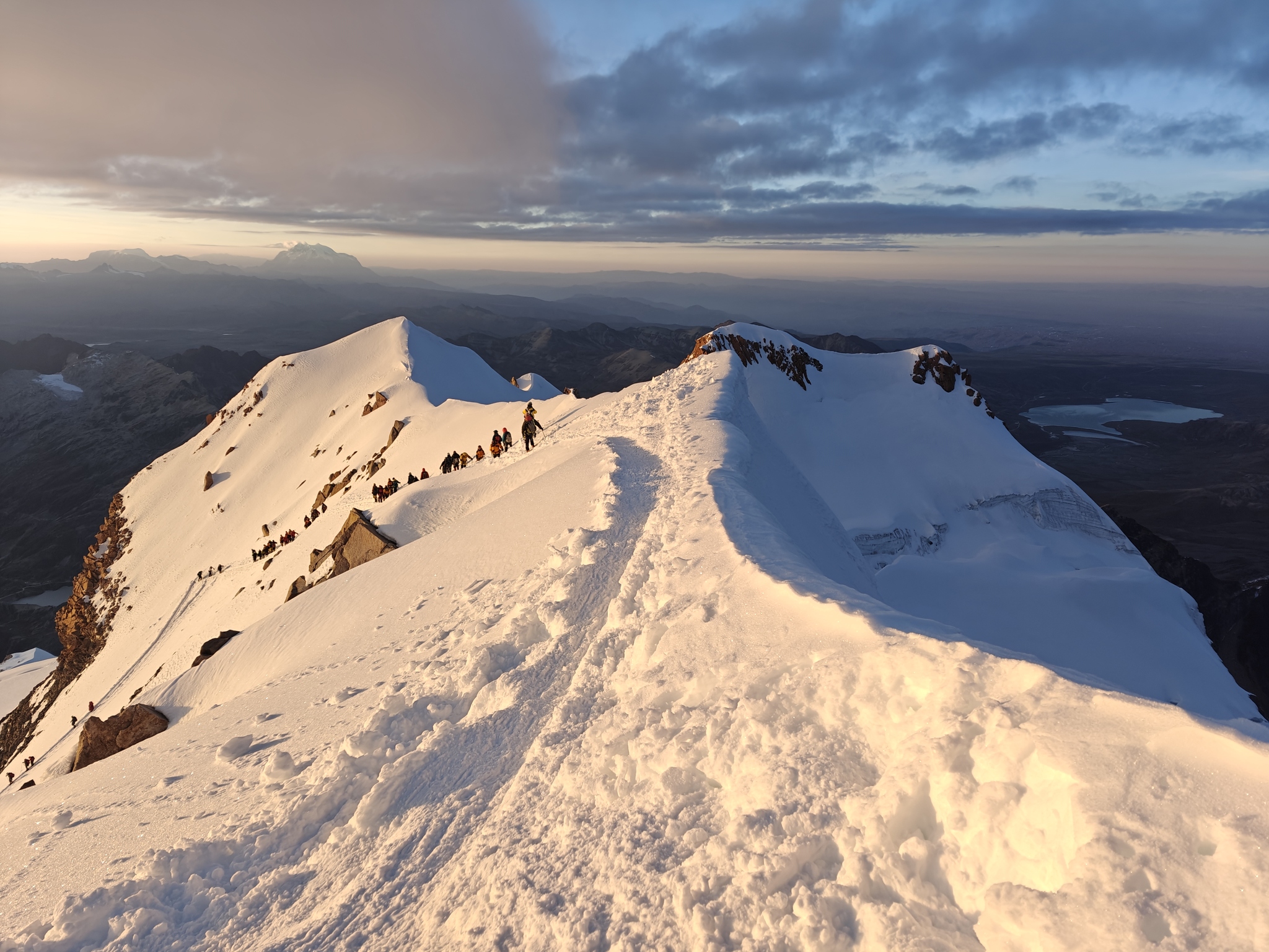
The snow-covered path was well walked and familiar, but those last 200 meters proved to be every bit as tough as they warned. Each step felt like a Herculean effort, and I had to pause frequently to catch my breath. Slow and steady was the mantra, but even small steps felt like a battle for oxygen.
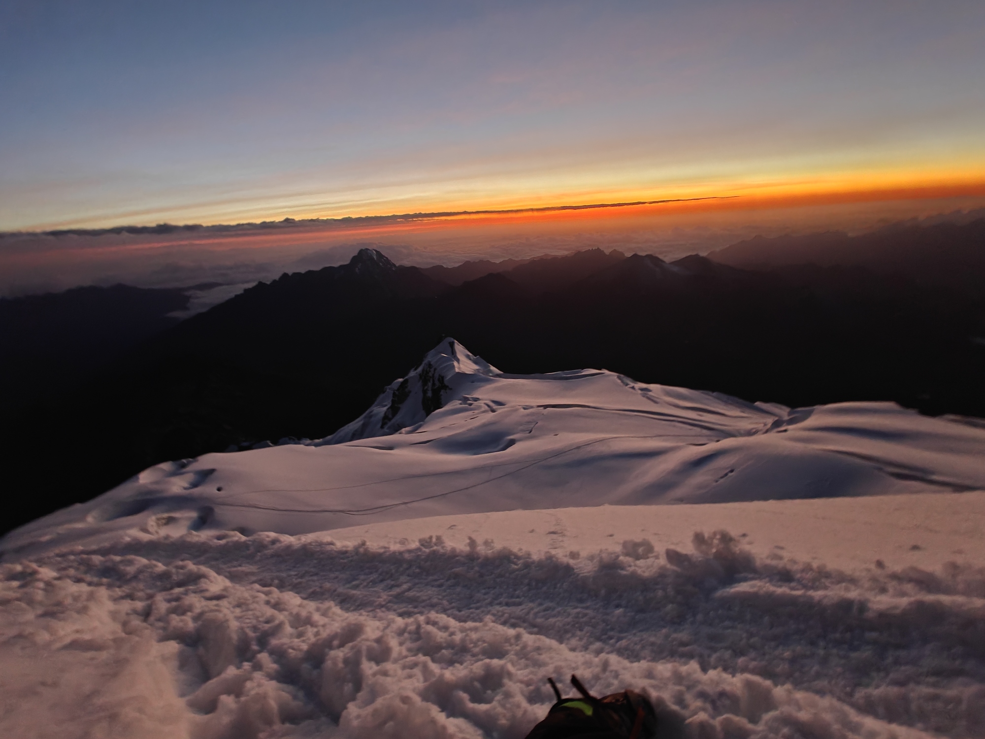
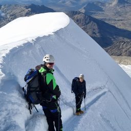
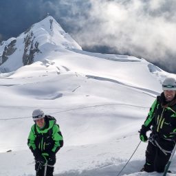
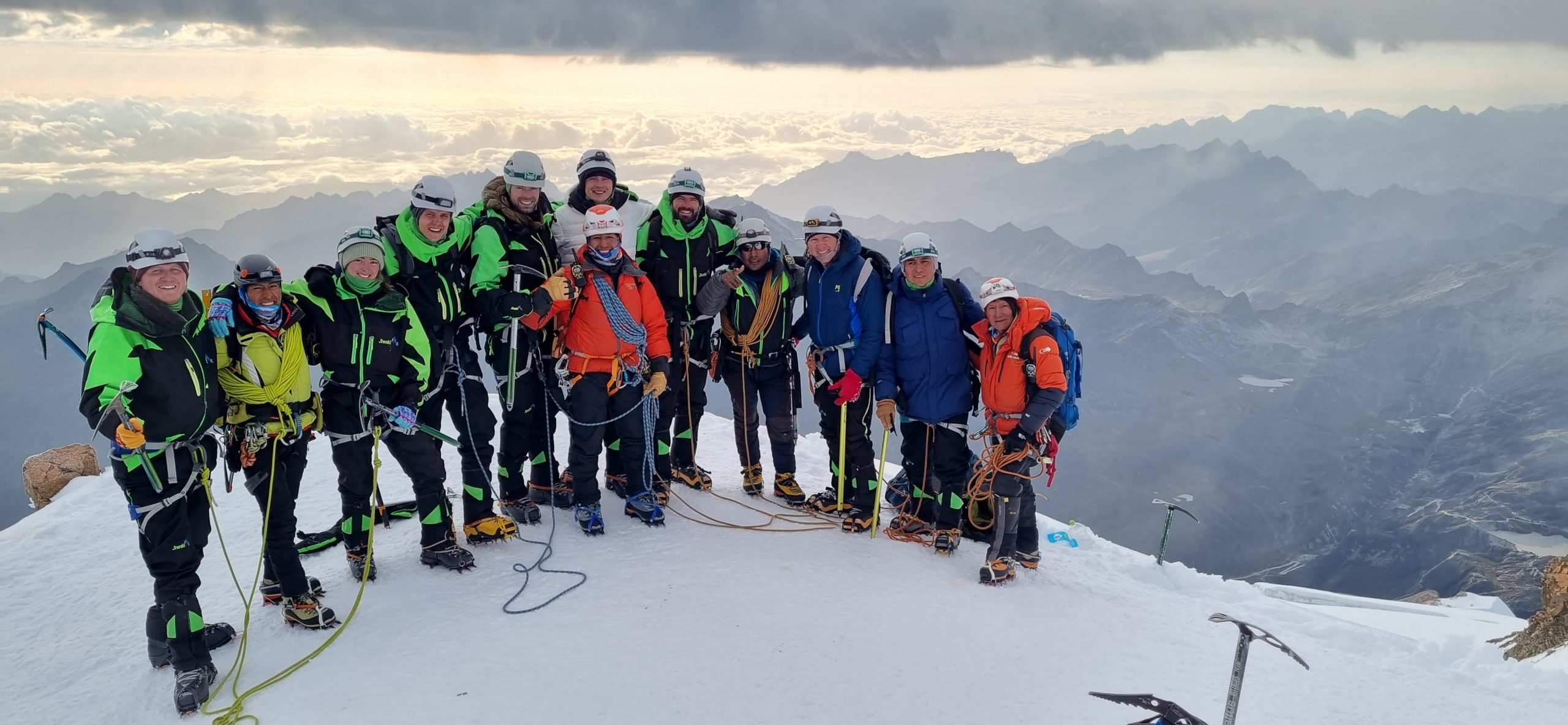
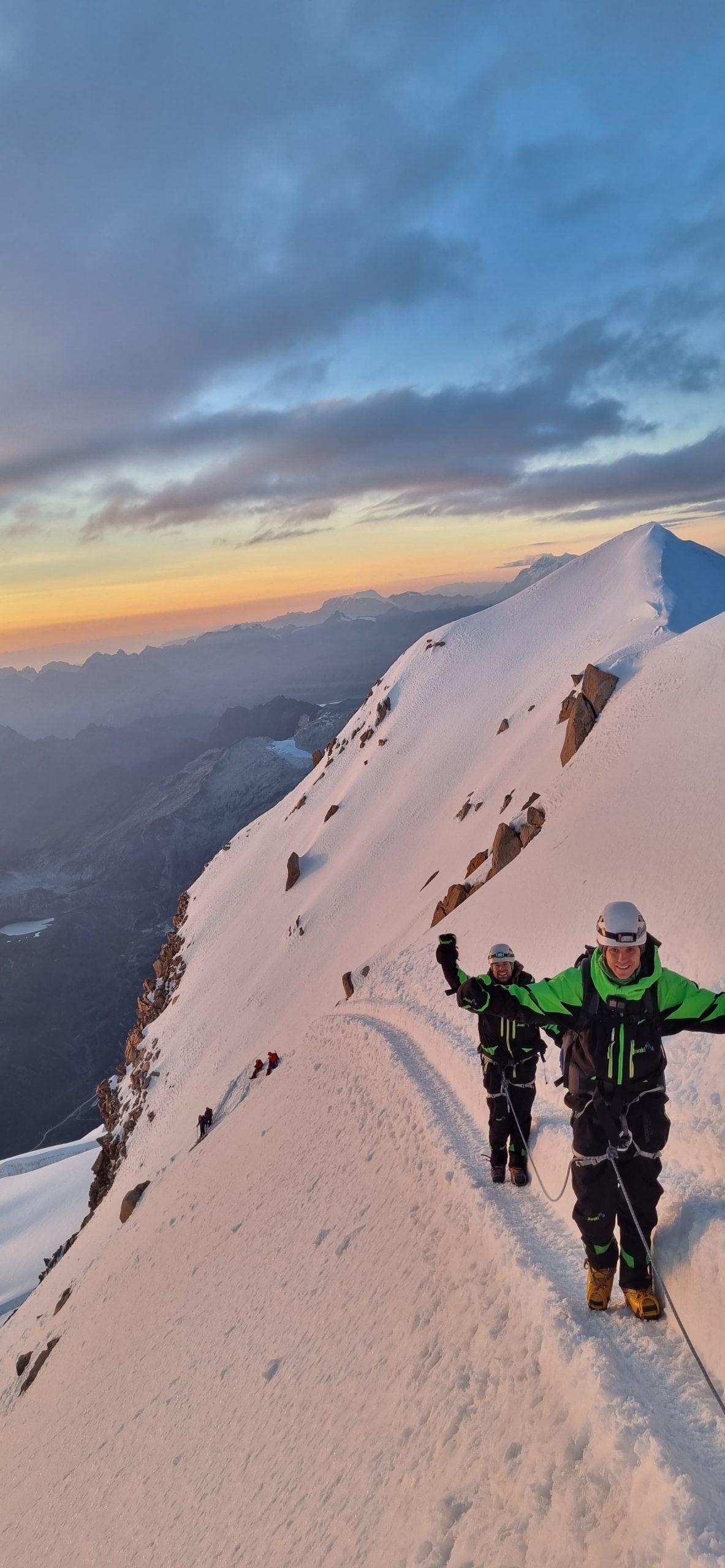
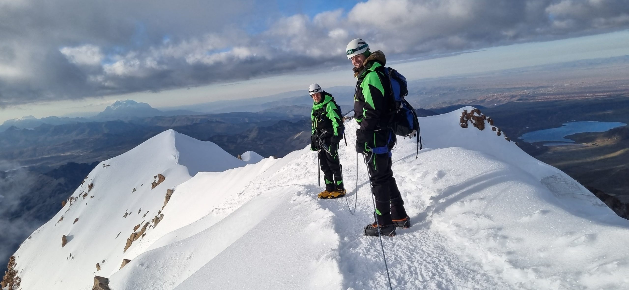
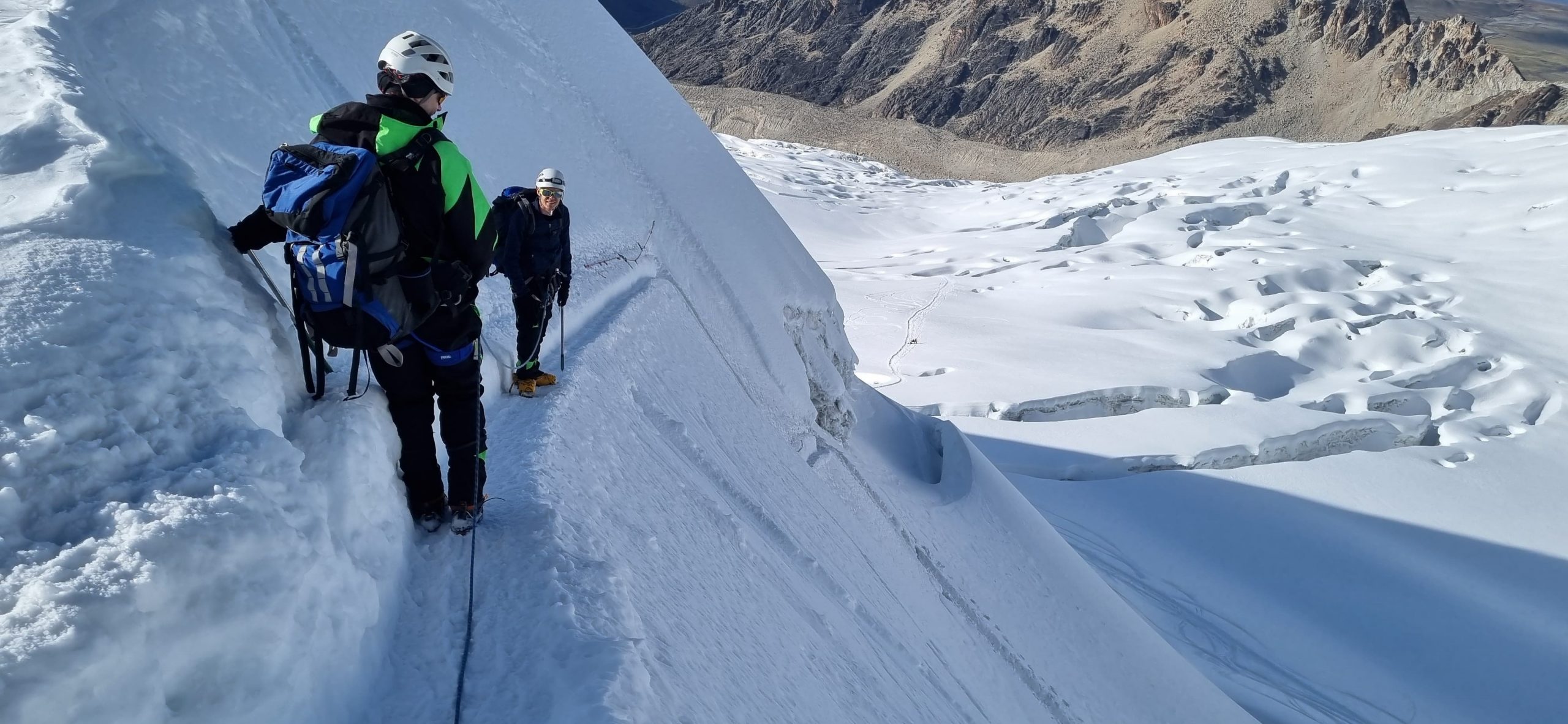
Until the first light of dawn broke, all I could see was the vast expanse of white snow ahead, illuminated by our headlamps and the distant lights of fellow climbers on the glacier. You can sense the sunrise approaching when the pitch-black sky starts morphing into a fiery red horizon. When we hit 6000 meter, we took a well-deserved break, sitting down in the snow to soak the sunrise as much as we could. The final push to the summit wasn’t any easier, still a tough slog, but we had plenty of breaks as the guide was cheering everyone who was making their way back down.

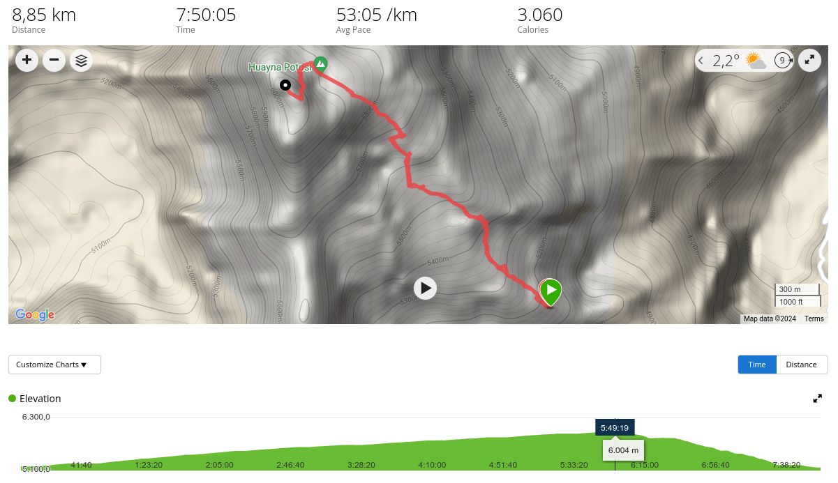
I was a bit unsure about the descent, but it turned out to be quicker than I anticipated. From High Camp to the Summit and back again, it’s nearly 9 kilometers with an altitude gain of 840 meters. All in all, it took us 7 and a half hour. Then, we had a soup at High Camp, relaxed a bit and marched down to the Base Camp for another 2 hours. The van was already waiting for a drive to La Paz. Quick return.

Acclimatization plan
The first stop of the journey was the city of La Paz, already situated at 3700 meters above sea level. Actually, the airport sits in El Alto, at an even higher elevation of 4000 meters. To prepare for the high altitudes, I followed a three-step acclimatization plan:
- First off, several weeks before departure I started acclimatizing in an Altitude Tent. This helped me get used to sleeping comfortably at a similar altitude to La Paz (~3700m).
- Then, about a week before departure, I incorporated Intermittent Hypoxic Training (IHT) into my routine. This involved daily hour-long sessions of interval breathing exercises. I’d spend 5 minutes breathing hypoxic air, simulating an elevation of 6000 meters, followed by 5 minutes of breathing normoxic air, all within the span of an hour.
- Finally, I spent an active week exploring the surroundings of La Paz, all above 4000 meters. This included hikes and bike rides along the Takesi Trail up to 4600m, mountain biking in Chu Chu Sorata at 4700m, and tackling the Illimani Trail at 4600m.
The summit was reached on May 8th. Pulse Ox (SpO2) and the average altitude during 24 hours is depicted below:

Summary
They say Huayna Potosi is one of the simpler 6,000-meter climbs, but it should not be underestimated. Since it is a relatively easily reachable mountain, typically the challenge is the acclimatization that can be managed from La Paz. There are several hikes that can be done beforehand, and once properly prepared, one can attempt to summit Huayna Potosi as well.
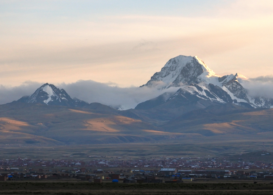
Once it was over and we were heading back to La Paz with Huayna Potosí on the horizon, we just could not believe we had climbed it a few hours ago. It is a surreal feeling.
I am grateful I was able to reach the summit with the mental support of my friends, along with the preparation within the Altitude Tent, Intermittent Hypoxic Training, and engaging in primary sports within La Paz that I enjoy. Special thanks also goes to Jiwaki that organized this special experience.
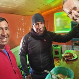
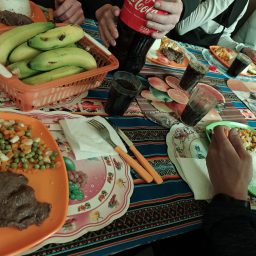
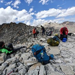
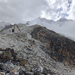
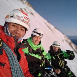
Gallery